Support the Timberjay by making a donation.
Cedar trail comes to life
Guided hikes on Tower’s new trail set for next weekend
TOWER— Word is getting around about the new Ancient Cedars hiking trail network, which volunteers are close to finishing here. The roughly one-mile-long main trail is cleared, marked, and open …
This item is available in full to subscribers.
Attention subscribers
To continue reading, you will need to either log in to your subscriber account, or purchase a new subscription.
If you are a current print subscriber, you can set up a free website account and connect your subscription to it by clicking here.
If you are a digital subscriber with an active, online-only subscription then you already have an account here. Just reset your password if you've not yet logged in to your account on this new site.
Otherwise, click here to view your options for subscribing.
Please log in to continue |
Cedar trail comes to life
Guided hikes on Tower’s new trail set for next weekend
TOWER— Word is getting around about the new Ancient Cedars hiking trail network, which volunteers are close to finishing here. The roughly one-mile-long main trail is cleared, marked, and open for visitors, and other alternate trails and spurs are cleared but may not be fully marked as of this week.
Temporary maps are now in place at intersections and interpretive and directional signs have been ordered and should be in place by October.
Not that visitors have been waiting for those amenities to explore the trail. In fact, volunteers who are continuing to finalize work on the trail are reporting steady traffic as more and more folks from across the area are venturing out to see the spectacular woods and dramatic rock outcrops in this unique area, located on the south edge of Tower.
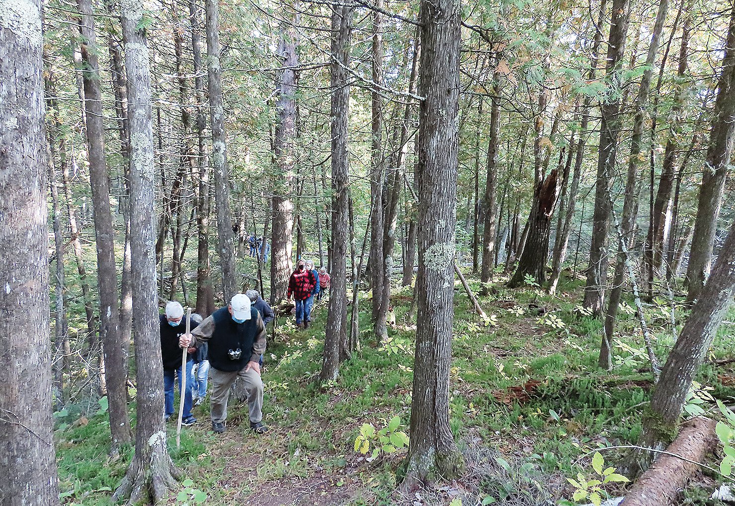
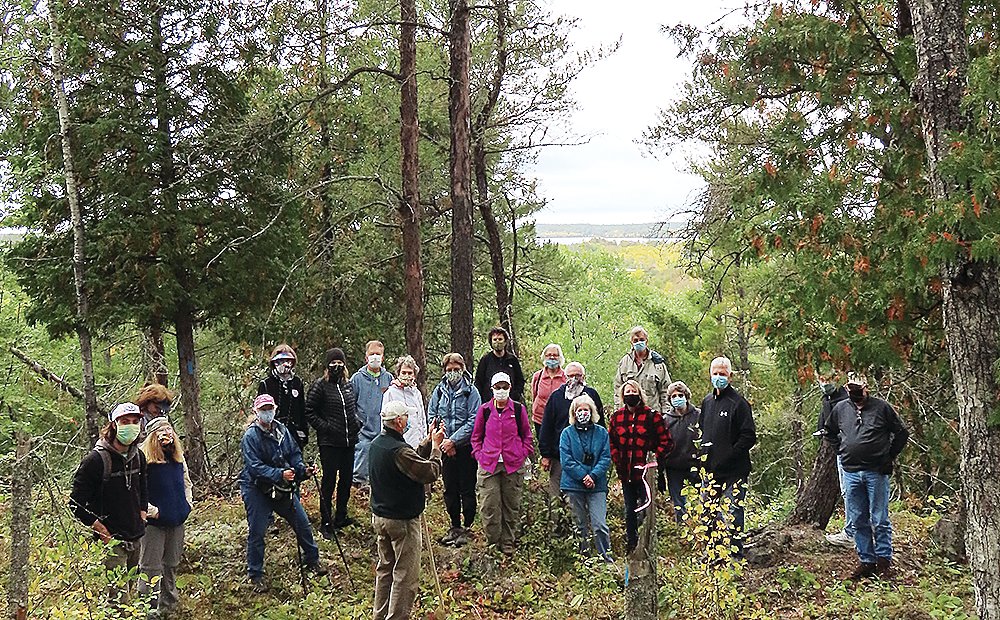
Last week, a group of 22 members of the Ely Field Naturalists walked the new trail. Group leader Bill Tefft, of Ely, said the group loved the trail, although they lost track of the route at one point and had to double back. Trail volunteers say they hope to have clearer trail markings in place by this weekend, in addition to the temporary maps.
The trail volunteers will also be hosting two guided walks on the trail, on Saturday and Sunday, Oct. 3 and 4. The Saturday hike is set for 10 a.m., with an afternoon hike on Sunday, at 2 p.m.
All interested hikers should meet in the parking lot near the train depot and civic center at those times and be dressed for the weather. Sturdy shoes or hiking boots are recommended and hiking sticks or poles may be of assistance as well. It’s a wilderness-type trail and the terrain can be rugged in some locations, so take your time and watch your footing.
The trailhead starts about four-tenths of a mile from the train depot. To reach it, take the Mesabi Trail east about three-tenths of a mile, to the intersection with the Iron Ore snowmobile trail. Turn right onto that grassy trail and go just over one-tenth of a mile, crossing the wooden snowmobile bridge. You’ll find the trailhead about 50 feet beyond the bridge, on the left. The first 500 feet of the trail is on boardwalk as it crosses a wetland area, but you’ll find upland hiking the rest of the way.
The trail is open for hiking in the spring, summer, and fall, and will become a snowshoe trail for the winter months. For anyone who hasn’t already taken a look, don’t miss the guided hiking opportunities next weekend.
The trail is a joint effort of the Tower Economic Development Authority, the Wagoner Trails Club, and Friends of Vermilion Country School. The trail clearing and boardwalk construction were completed with all volunteer labor. Funding for the boardwalk materials and signage came from the North St. Louis County Trails Task Force, which is funded by the Department of Iron Range Resources and Rehabilitation. Additional funding came from Lake Country Power’s Operation Round-Up®.


